






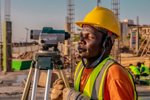
The professional languages used by construction teams are often different. The architect thinks in spaces and relationships, the engineer in loads and levels, the builder in sequence and access, and the owner in cost, timing, and the finished product. The survey information lies quietly between these perspectives. When it is clear, all participants can make decisions from the same physical reference. If it is not obvious, different interpretations begin to diverge.
So the value of a survey is not only in its accuracy of measurement. Its usefulness also depends on organisation, annotation and ability to explain how the data relates to the site. A drawing with lots of unexplained symbols can be technically rich, but practically difficult. Good records make complexity readable so teams see constraints early and discuss alternatives before machinery, materials or labour are committed.
Start With a Shared Spatial Language
Use Leading Surveys for a project chat where more than one person needs a reliable record of boundaries, features, levels and proposed positions. The main benefit is alignment. Rather than each discipline developing their own version of the site, the team works from a single coordinated reference that can be updated as the project progresses from concept to approval, set-out and completion.
It begins with a clean, crisp brief. The client should set the stage of the project, the decisions that require information and the format needed by other consultants. A designer may require contours and significant vegetation, whereas a contractor may require control marks and set-out detail. Define who will read the plan so that the final information will not only be correct, but also immediately usable.
Measure once. Communicate many times
If field observations are recorded with an eye to future coordination, they can feed many later conversations. Design may be influenced by retaining structures, access points adjoining features and changes in terrain long after the first site visit visible services. Giving the right context reduces repeat attendance and gives consultants more of the picture when testing options away from the property.
The choices you make in your presentation really do count. Consistent layer names. Sensible scales. Legible notes and clear reference information aid data travel between software and professional teams. A drawing should distinguish between measured facts and proposed work and identify any area that could not be accessed or confirmed. It is better to be honest about limitations than to give the impression of certainty which does not exist.

Technology Matters When It Explains
Today’s surveying can include robotic instruments, satellite positioning, laser scanning or aerial capture. These tools can gather a lot of information quickly, but quantity is not the same as insight. The method should be chosen based on the terrain, the accuracy requirement and the desired output. A simple site isn’t any better understood just because it makes a bigger file.
Interpretation is still the human job. Measurements need to be compared to controls, strange results need to be looked into and the final model needs to be simple enough for the project team to work through. The most powerful thing we can do with technology is to remove blind spots, improve repeatability, or safely represent a difficult feature. Hopefully it will set a lower bar for talking about the site, not another technical hurdle.
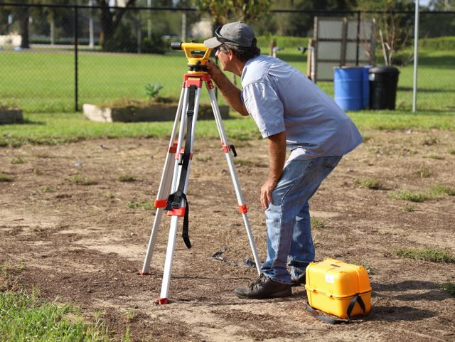
Better data makes better decisions
Projects seldom die for want of an opinion. They struggle when decisions are made on different assumptions about the same place. That friction is reduced by reliable spatial information. It provides a common reference point for meetings, enables competing ideas to be tested against real constraints and helps document changes while retaining the history of previous choices.
A useful surveying relationship supports continuity from the first measurement to the last verification. Each stage adds proof, not beginning the story again. Once the data is arranged, explained and aligned to the needs of the people using it the survey becomes more than a technical requirement. It becomes the fixed map around which a complex group can plan, build and review with assuredness.









Leave a comment